As a student, I went on several hiking trips. One with Uncle Mauritz, a kind, friendly man from Centurion, Pretoria. He was also the chief engineer of the Transkei Highland Water Scheme Project and he knew that part of the country like the palm of his hand! We were 34 people and about 6 children age 9/10. We went to the part of South Africa, called the Wild Coast!
At some places we walked ON the beach and other places just about 20 m away and sometimes even on high cliffs of the escarpment. At night our tents were about 50m from the beach. This was an amazing trip!
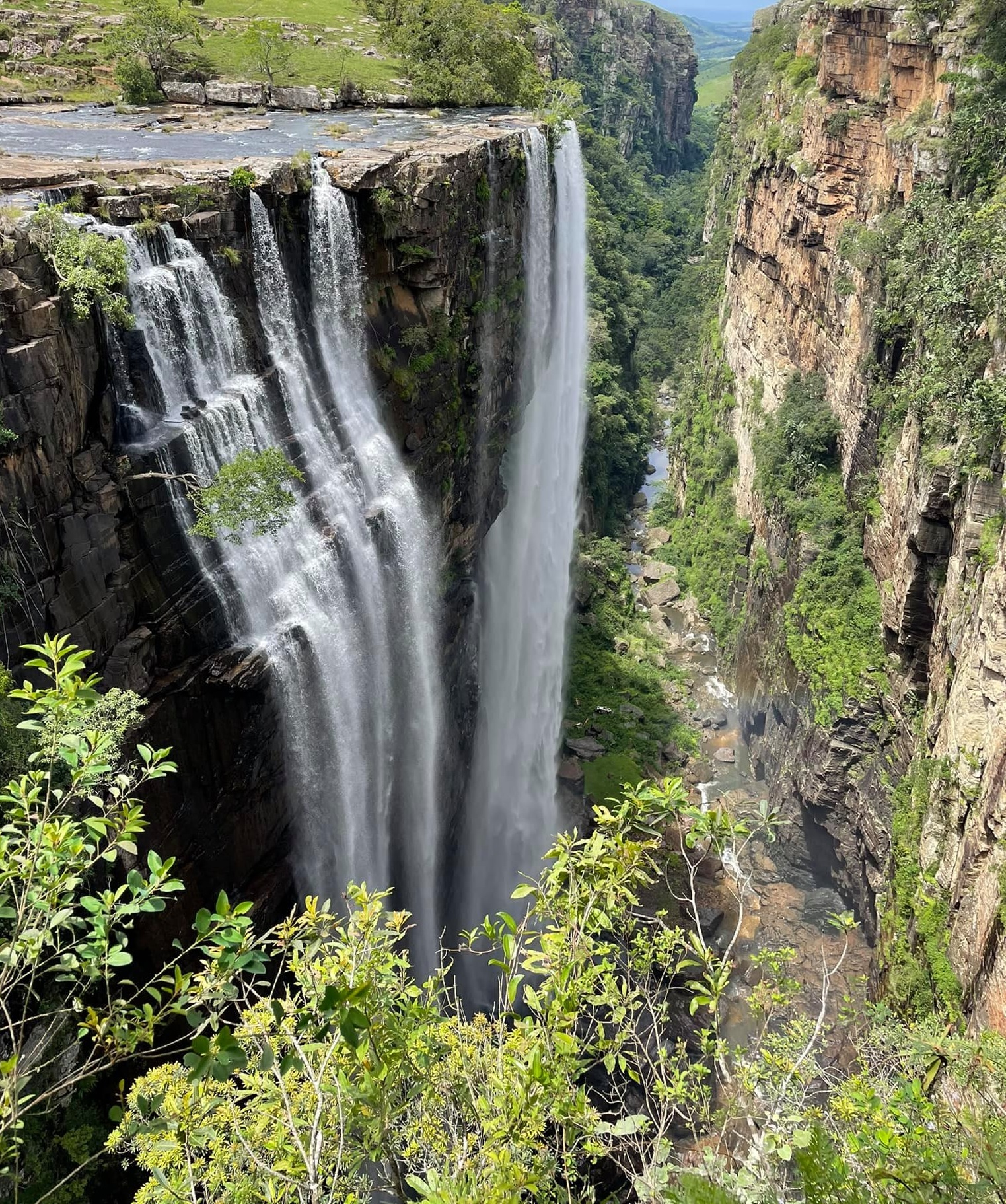
Uncle Mauritz showed us spectacular places, the highest water fall with its fall cascading into the sea, it is called the Waterfall Bluff. Hidden places! Tea plantations and the spectacular Magwa Waterfalls! Top Hat, Lupatana Splash Rock – these are just a few to mention. It was really an experience I will never forget. You got to see the beautiful unspoiled beaches and part of the trail is up along the escarpment. One walks along the cliff tops with magnificent views. The terrain was fairly strenuous, but it was all worth it – a hundred times worth it.
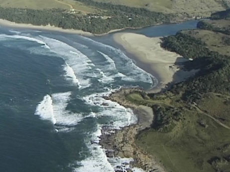
It was a too difficult route for the children, so when we came to the Mkambati Nature Reserve, we sadly had to end our trip. But, we had to cross a river first and it was in flood! – see the first picture in this entry. We had a GREAT time for a day at the resort and it was great fun, the bar man was a great sport and we had big laughs with him. A coach picked us up at the resort and we set off for Margate – one of THE places to go on holiday by the beach – well, that was ‘way back then.’
I kept a diary an exact diary of everything: where we stopped for lunch, what the time was, how long it took us to walk from A to B, etc. etc.


Click on the image for a larger view. We started at Port St Johns and we walked North towards Port Edward.


Waterfall Bluff -wildcoast.co.za
Update: August 2011
Since I got my own photos now with me – I could scan them in and here are a couple of pictures from this hiking trip!

In this photo you can see uncle Mauritz, our leader. He was also the chief engineer of the Highlands Water Scheme. We all gathered first at his house and he showed us a slide show of the area and discussed all sorts of ‘issues’.
![]()
And everybody wants to take a picture! Obviously, I took this picture of ‘everyone’! lol
![]()
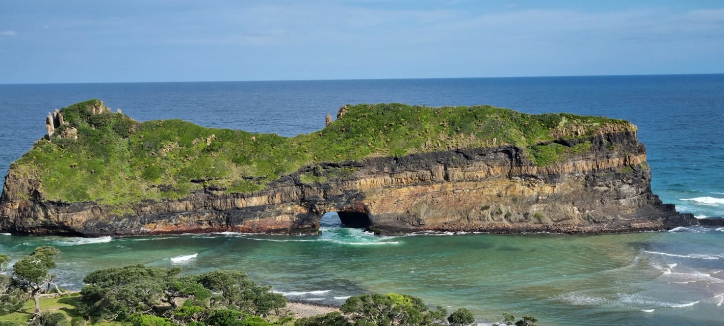
Whole-in-the-wall seen from above – the cliffs. This is my own picture.
![]()
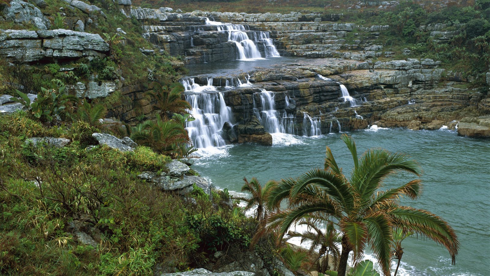
One of the beautiful waterfalls on the trip. Hope you can see the people in this pic.
![]()
And this is ME – end of the trip…exhausted.

‘Top hat’ and to the right you can see part of Lupatana – also my own pic!

This is the actual Lupatana – an image from this site:
http://throughtravelanderror.blogspot.com/

Mbotyi falls – image: Wildcoastholidays.co.za